A Day in the Life at LFT
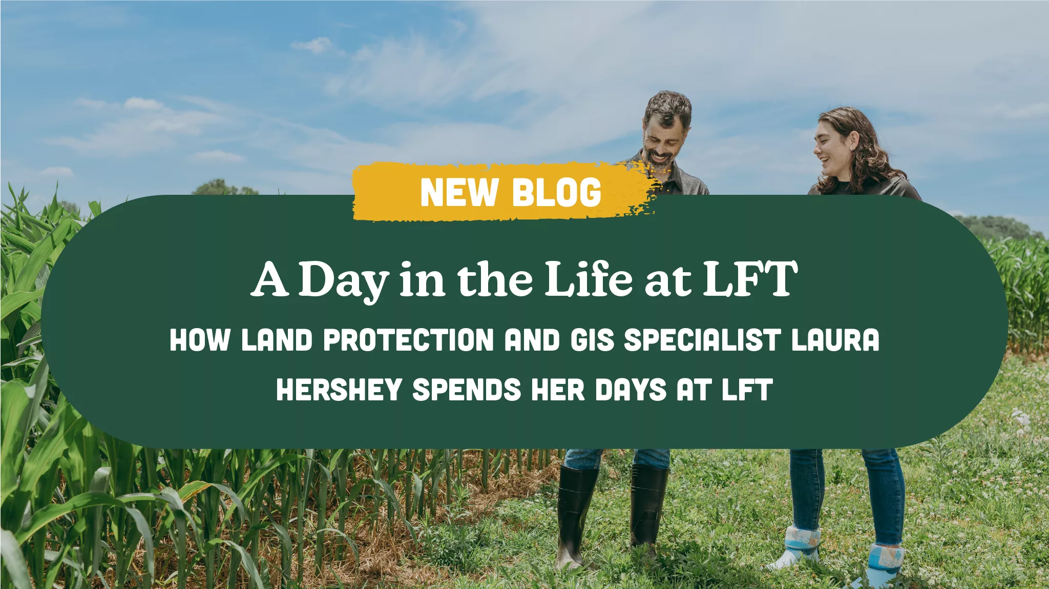
Laura Hershey is Lancaster Farmland Trust’s (LFT’s) Land Protection and GIS Specialist. In her third year working in the Land Protection Department, Laura is an integral part of the preservation process. While her job entails many different tasks, one of the most important parts of her position is completing baseline visits.
So, what exactly does it look like to perform a baseline, and why is it essential to preservation? We sat down with Laura for a peek into a day in her life on baseline visit days.
“I typically like to arrive at the office around 8 in the morning and aim to be at the farm at 9:30ish,” Laura notes, “this allows me to avoid the heat of the day in the hotter months.”
Laura knows that preparation is key. Before heading out to the farm, Laura loads a map of the property into software on the LFT iPad. During baseline visits, LFT staff are required to photograph the property at each boundary corner to document the state of the farm at the time of preservation and identify any concerns. This map software notifies Laura of the property perimeter and boundary corners so she can navigate the farm efficiently. She also ensures the flight path is programmed into the drone before heading out.
Baselines can be strenuous and take hours, so Laura always packs a baseline bag before her visits. She often includes the essentials: water and snacks, proper footwear, pepper spray, and a safety vest. She also utilizes numerous land protection gadgets on her visits, such as a GPS, mobile Wi-Fi adapter, iPad, and drone. After her bag is packed and everything is programmed, it’s time to hit the road.
Once she arrives on a farm, Laura is sure to spray off her boots to protect the property from any biosecurity risks, such as avian influenza. She’ll also attempt to speak to the farmer before going further on the land. She notes that it’s important to ask our farmers if there are any pastures off-limits to visitors or electric fences that are still turned on.
“I always call ahead of time to let a farmer know I’ll be visiting,” says Laura, “and when I get to the farm, I try to speak to the farmer to let him or her know what I’ll be doing.”
Before she treks around the property, Laura flies the drone. At LFT, our staff utilizes drone technology to snap aerial photos of the property and numerous pictures of the farm’s buildings. Again, these photos document the state of the farm at the time of preservation, help us identify any concerns or easement encroachments, and more.
After the drone lands safely, Laura is ready to hike the property line. During baseline visits, it’s vital that our staff not only documents the property from the drone’s perspective but also documents it from up close and personal. Laura does this by taking photos from all the boundary’s corners using her GPS and iPad.
“Walking the farm allows us to take note of things we might not catch with the drone, like boundary disputes,” says Laura.
After a long day of crawling under electric fences, it’s time for Laura to spray off her boots and head back to the office.
With 600 easements to keep track of and monitor, organization is imperative.
“Once I return to the office, I’ll immediately label and upload the photos I took to our database. I’ll also report any concerns I may have found so we can start finding solutions,” Laura says.
It takes a village to preserve a farm. At LFT, we’re grateful to all our staff members for their hard work, dedication, and expertise. It’s their passion that makes our work possible!
“I enjoy working at LFT because I love being able to positively impact the place where I grew up. It’s very fun to be able to drive around here and know that I am helping to protect the livelihoods of my community and see the viewsheds that will stay that way forever.”
If you want to learn more about our work to protect local farmland, click here or connect with us on social media! To learn more about our staff members, click here.
